Illustrated Maps
of Wiltshire Towns
Bring your town into your home, with our selection of printed products featuring the historical buildings and streets of Wiltshire locations.
These have been lovingly hand-drawn - and then printed and made in the UK - with a focus on all the charming details of Wiltshire life.

Shop


Free shipping over £25.00

Millie the Bradford on Avon Millenium Statue
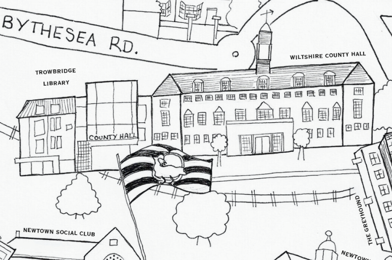
The Wiltshire County Hall and the iconic architectural Trowbridge library

Iconic landmarks around the Stallards Roundabout near Trowbridge train station
Millie the Bradford on Avon Millenium Statue
Hand-drawn with pride
As a newcomer to Wiltshire in 2023, I have loved exploring the streets and the buildings that make up the incredible and historic towns across the County.
I've loved hand-drawing some of these little touches that make Trowbridge and Bradford on Avon the towns that they are.
Every Trowbridge tea towel or Bradford on Avon poster is a piece of art that can bring a little of the town outside into your homes.